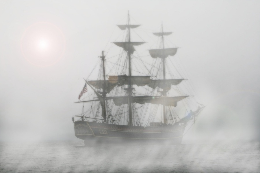
Navigation, old-style!
by Dermot Tynan in Shipping
Posted on Sunday, March 12, 2023 at 17:14
In the 1800's, sailing the high seas was a challenging but rewarding experience for mariners. The ships of that era were powered by wind and equipped with basic navigational tools, making it a test of skill and endurance to safely guide a vessel from port to port.
One of the most important tools for navigation in the 1800's was a ship's compass. This simple device indicated the ship's direction relative to magnetic north, allowing the crew to plot a course and stay on track. However, compasses of that era were far from perfect and could be affected by the ship's iron and steel structure, as well as other magnetic influences.
Another essential tool was the sextant, which was used to determine a ship's latitude by measuring the angle between the horizon and the sun or stars. This information, along with the ship's compass reading, allowed the crew to plot their position on a chart and determine their course. Assuming, of course, that you could see either sun or star, which was quite difficult on overcast or foggy days, meaning you could go for days at a time without being able to get a "fix". Also, a sextant can give a solid value for latitude, but it isn't very good with longitude. If you think about it, if we're both at 50 degrees latitude, but at opposite sides of the planet, we'll both see the same sun angle at mid-day, and the same collection of stars at night. The only reliable method for determining longitude in those days was by using an accurate clock. For example, the sun is highest in the sky at twelve noon, GMT, if you are in Greenwich. Hence "Greenwich Mean Time" or GMT. If you use your sextant to determine the height of the sun above the horizon, to determine noon, and then reference your accurate clock, you can tell the time difference between where you are and GMT.
For example, if your clock, which is still set to GMT, says it is exactly 4PM when the sun is highest in the sky, you can tell that your noon is four hours after GMT Given the simple fact that the earth rotates every twenty-four hours, and there are 360 possible degrees of longitude, then your particular longitude must be 60 degrees west. If you're still at a latitude of 50 degrees north then you're in the Gulf of Saint Lawrence. If your watch is a little slow or a little fast, then you might not be as far from land (and rocks!) as you think. It's also been at least a week since you were actually in Greenwich and able to synchronise your clock, and it may have gained or lost a few seconds or minutes during the voyage.
The search for an accurate clock occupied the British Navy for a considerable time, after the infamous Scilly Naval Disaster which cost the lives of between 1,400 and 2,000 sailors. The story of how English carpenter and clock-maker John Harrison developed an accurate ship-board clock, is truly amazing, even in this day and age.
Despite the availability of these tools, navigation in the 1800s was still a difficult and uncertain process. The lack of accurate charts and detailed information about the world's oceans made it difficult for mariners to plot a safe and efficient course. The lack of reliable weather information also made it challenging to avoid storms and rough seas.
We have it easier today, with satellite location beacons (GPS), which provide not just an accurate position but also a very accurate time of day. Compasses are smaller, more accurate, and even digital. Electronic charts can show us where the hazards lie, and where we are in relation to those hazards. Finally, AIS allows us to see the position, heading and speed of neighbouring vessels. It will also transmit our position, heading and speed to the other vessels. On top of all that, it will predict the closest point of approach, and sound an alarm if we are likely to collide with a nearby vessel.
Navigating a ship in the 1800's was a challenging and uncertain experience, but it was also a rewarding and fulfilling one. The sailors of that era were brave and skilled, relying on their wits and the tools at their disposal to safely navigate the high seas. Despite the many difficulties they faced, they persevered, laying the foundation for the modern shipping industry that we know today.
Search
Upcoming Missions
- Galway Bay Loop, Waiting for Vessel Availability
Recent Posts
- May 2023 (1 post)
- April 2023 (1 post)
- March 2023 (1 post)
- February 2023 (2 posts)
- March 2022 (3 posts)
- March 2021 (1 post)
- August 2020 (1 post)
- May 2019 (1 post)
- April 2018 (1 post)
- November 2017 (1 post)
- April 2017 (1 post)
- November 2016 (1 post)
- September 2016 (1 post)
- August 2016 (1 post)
- January 2014 (2 posts)
- October 2013 (7 posts)
- September 2013 (1 post)
- August 2013 (3 posts)
- June 2013 (3 posts)
- May 2013 (4 posts)
- April 2013 (3 posts)
- March 2013 (9 posts)
- February 2013 (8 posts)
